EUDR Check
Deforestation checks that run
on the data you already hold.
EUDR Check tests every plot boundary against forest change data, scores the risk on the lot, and turns the result into a Due Diligence Statement — no spreadsheets, no rekeying.
How the check works
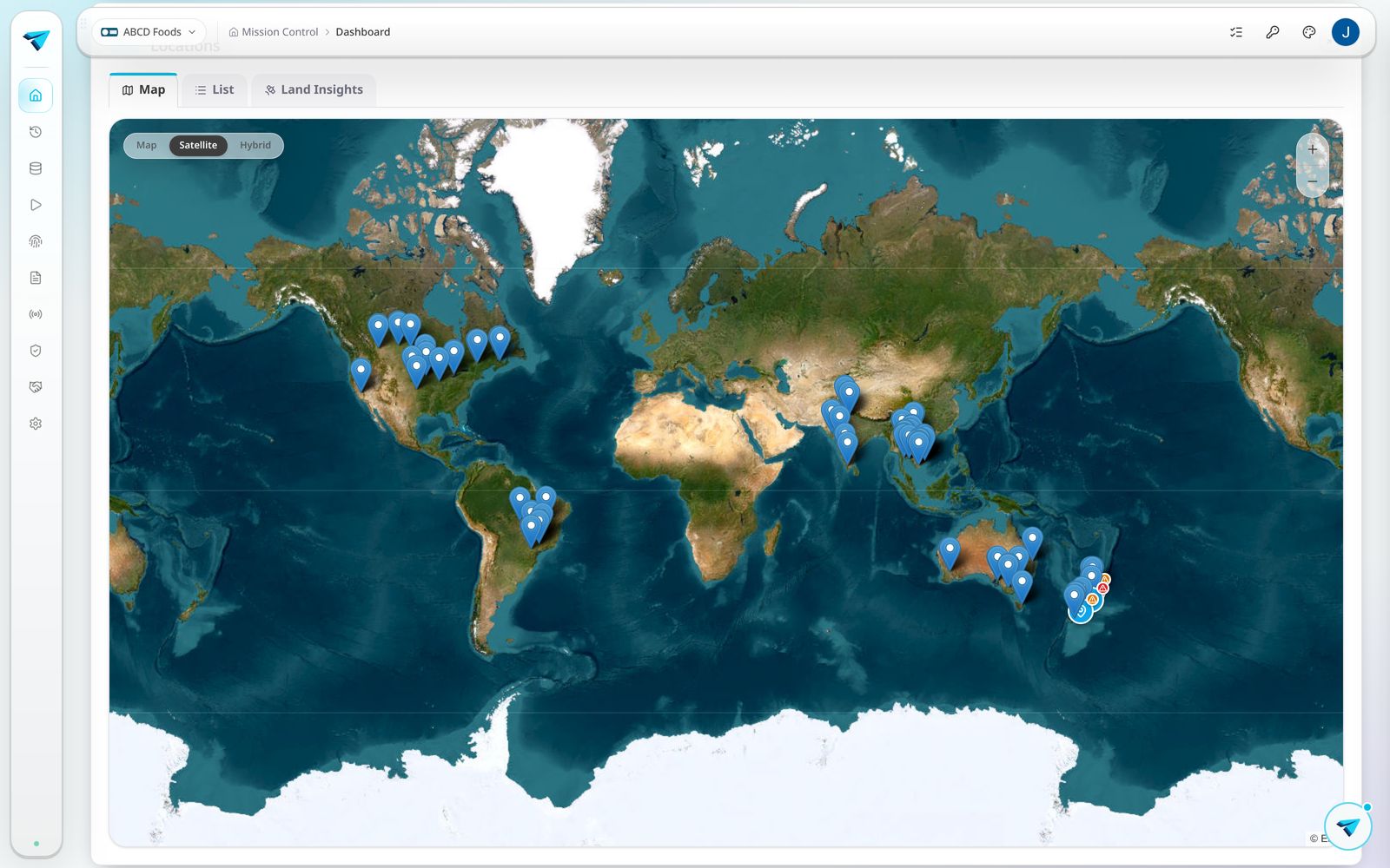
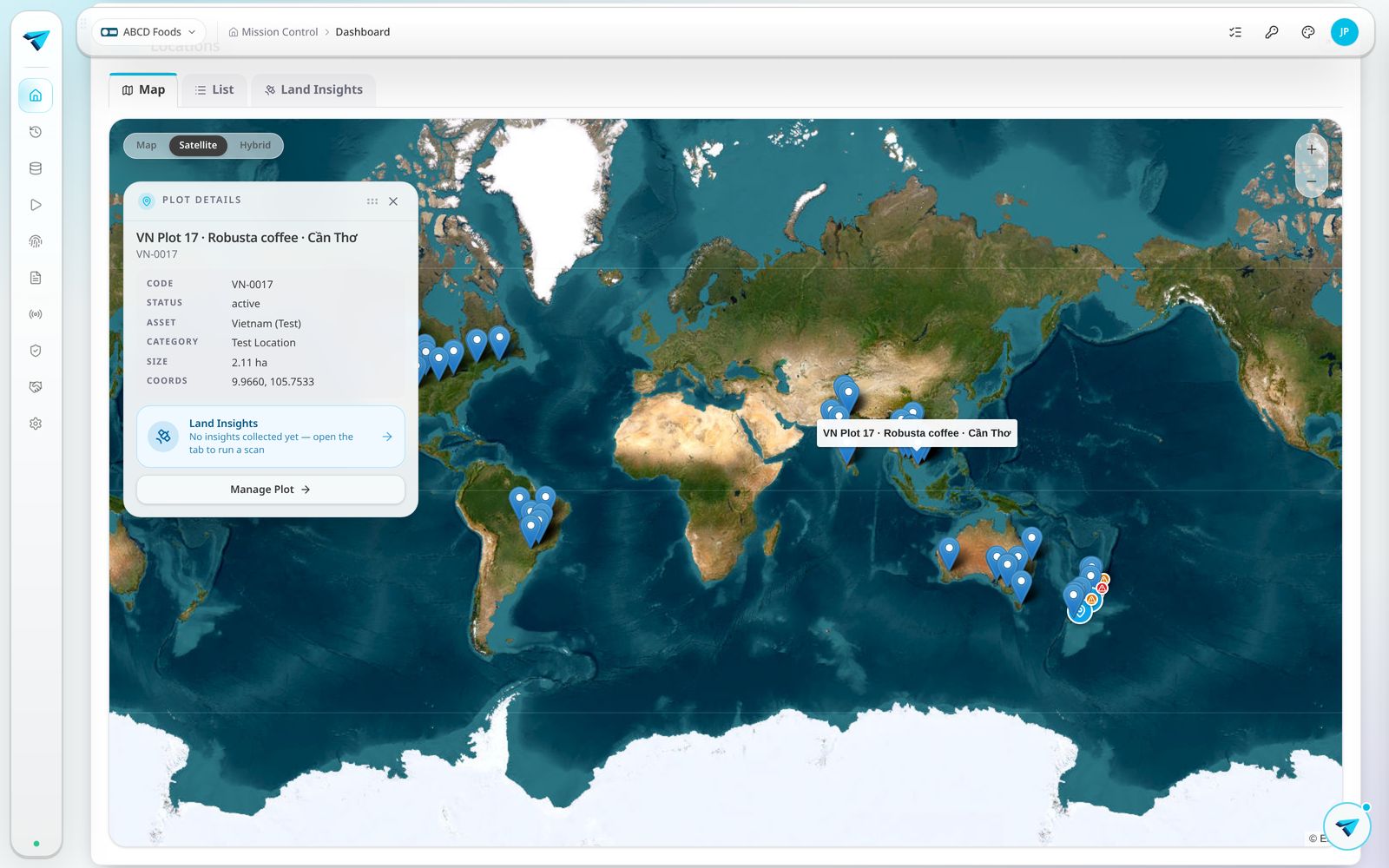
Deforestation checked per plot
Each boundary is tested against forest change data with the 31 December 2020 cut off, and the result is stored with the plot.
Geolocation that meets the rule
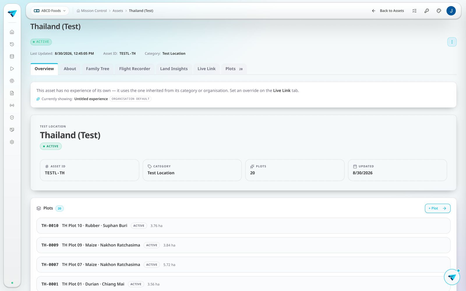
Polygons for plots above four hectares, points below. Draw them in Orbit or upload the KML you already have.
Risk flagged before shipment
Country risk, plot result and missing evidence are surfaced on the lot, so problems appear before goods move.
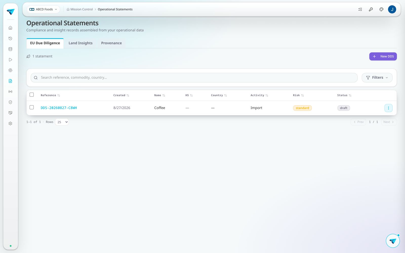
One click Due Diligence Statement
The DDS is assembled from the same record — operator details, commodity, HS code, quantity and every geolocation.
Re-run whenever data changes
Add a plot or refresh a feed and the check re-runs, so the statement always reflects the current picture.
Audit trail kept
Every check, who ran it, when and against which data source stays on file for the retention period.